At the Verrès motorway junction , enter the roundabout and take the second exit towards the historic centre, following the . After 300m (0.3km), turn left, staying on the ; after a further 3.5km (3.8km in total), turn left again to join the towards Val d’Ayas. Follow the regional road for 23.5 km (27.3 km in total), passing through the villages of Challand-Saint-Victor, Challand-Saint-Anselme, Brusson, Vollon, Extrapieraz, Periasc and Champoluc. At the roundabout, take the first exit and continue on the for approximately 2.7 km (approx. 30 km in total). The Frachey car park is located on the left-hand side of the road, next to the valley station of the Monterosa Ski rack railway.
Car park
The Frachey car park 🅿️ is free of charge and marks the starting point of the route. From here, a shuttle service connects the car park to the small square in Saint-Jacques, where the route begins. For those arriving before 7.00 am, possible to continue by car for about 500 metres and park for free 🅿️ on the left-hand side of the road, near the start of the route: in this case, add about 500 metres to the walk.
Access by public transport
The starting point can be reached via the Vita S.p.A. Verrès – Val d’Ayas service, which runs from 11 June to 9 September. The terminus for the uphill journey is Saint-Jacques, with an intermediate stop at Frachey. The most convenient morning departure for the hike leaves Verrès FS at 7.20 am (arriving at Frachey at 8.17 am and Saint-Jacques at 8.20 am); on weekdays, the 5.40 am service is also available (arriving at Frachey at 6.37 am and Saint-Jacques at 6.40 am). The return journey to Verrès can be made from either Frachey or Saint-Jacques: daily downhill services depart from Saint-Jacques at 12.25, 15.25, 18.25 and 20.30. For full timetables, please consult the official table at the link provided.
The directions provided were verified on the date the route was mapped. Before setting off, we recommend checking for any changes to the route or road conditions. For up-to-date information, please consult Google Maps or Apple Maps.
Introduction
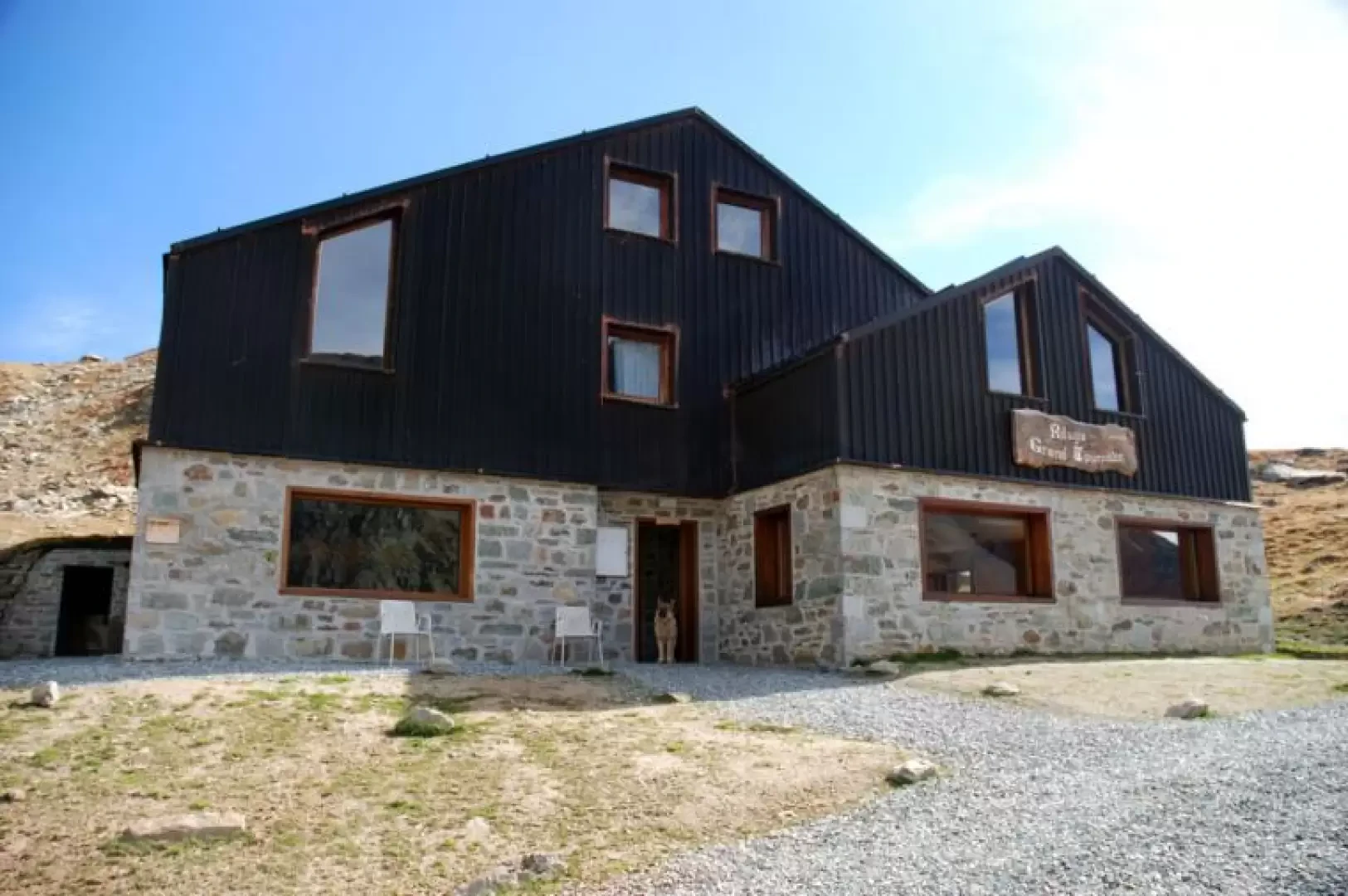
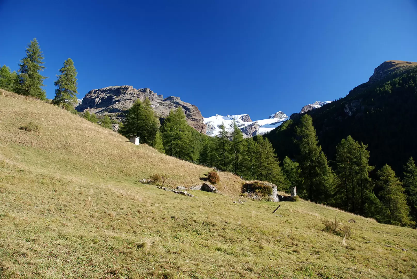
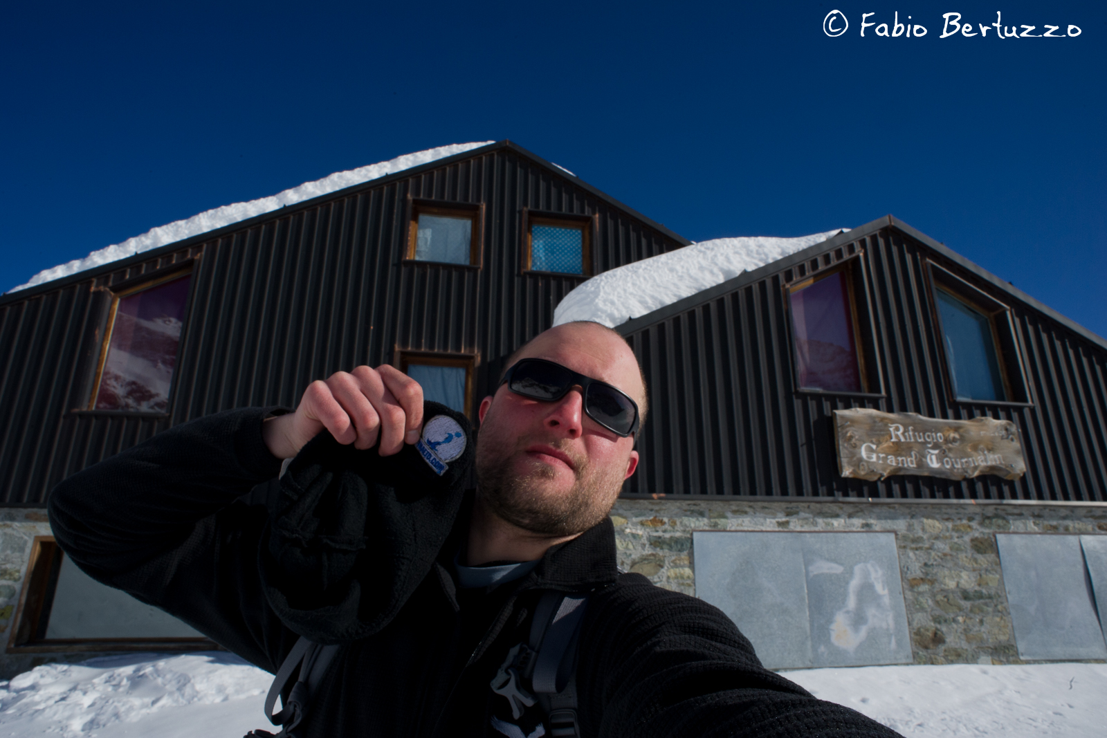
The appeal of this hike lies not in the sweeping views, but in the intimate setting of the Nannaz valley, nestled between the slopes of the Petit and Grand Tournalin. The ascent, which is steady and free of technical difficulties, passes through woods, mountain pastures and wide meadows, which are particularly beautiful in September when they begin to take on the colours of late summer. At the end of the valley stands the popular Grand Tournalin Mountain Hut, a stop on the Alta Via 1 route and, during the TOR330 – Tor des Géants®, a refreshment point for the race.
Description
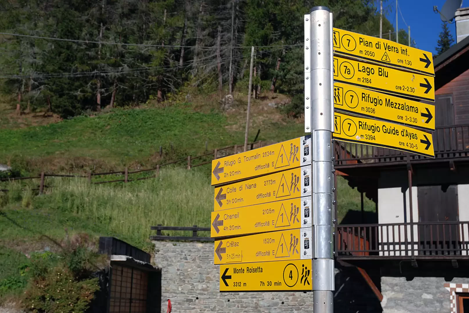
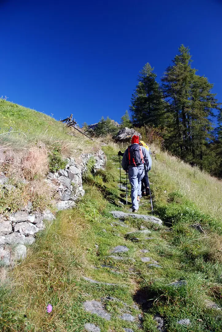
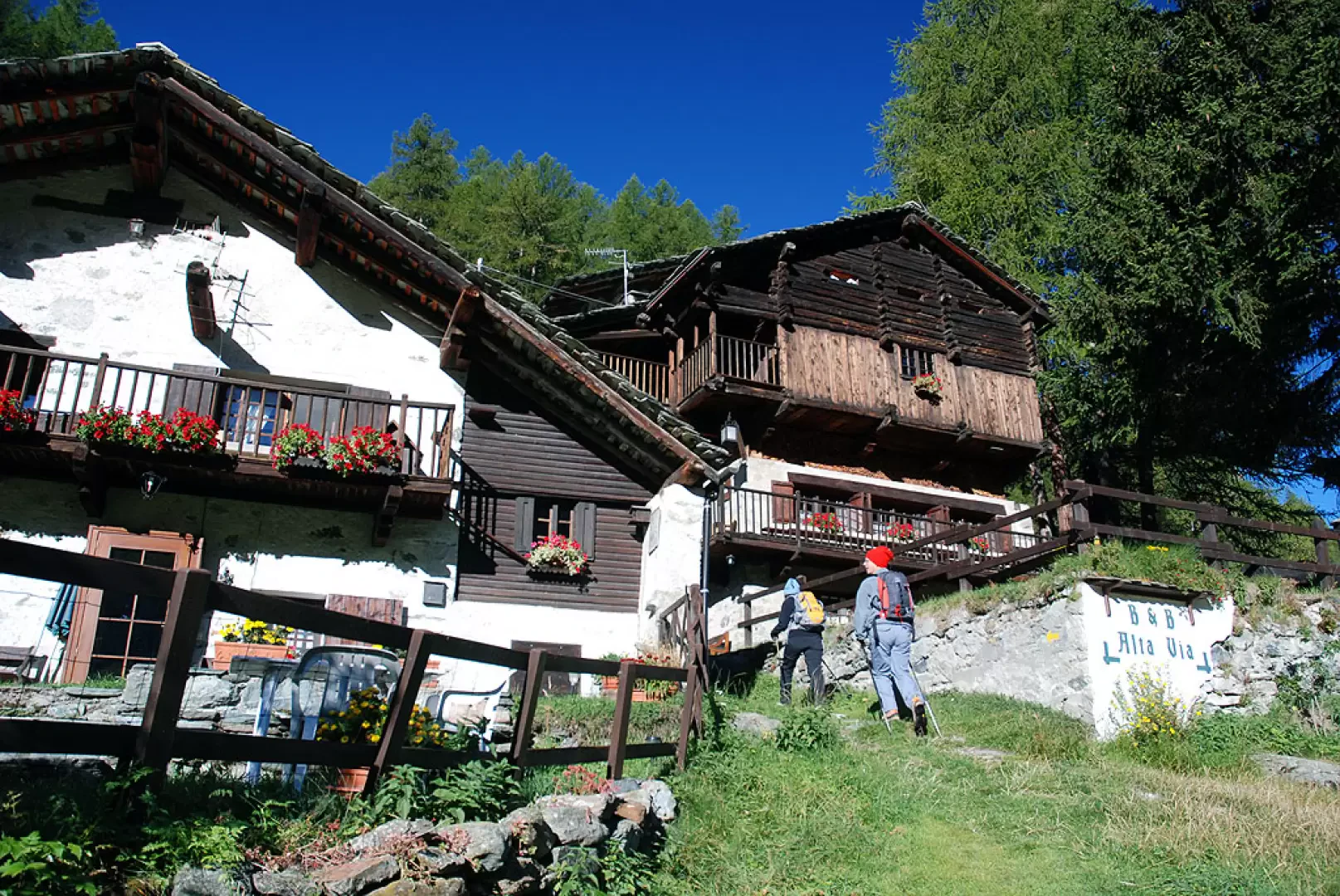
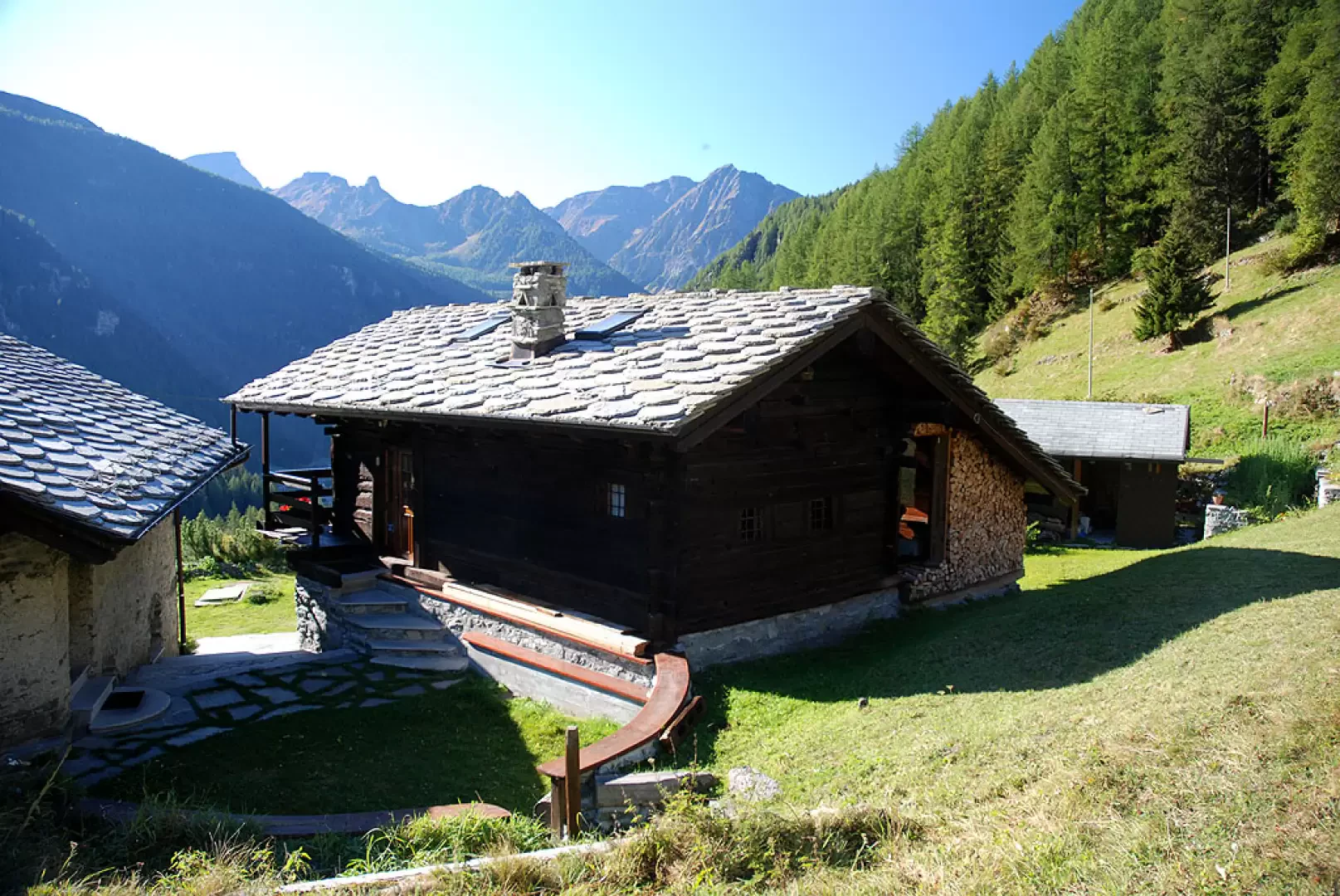
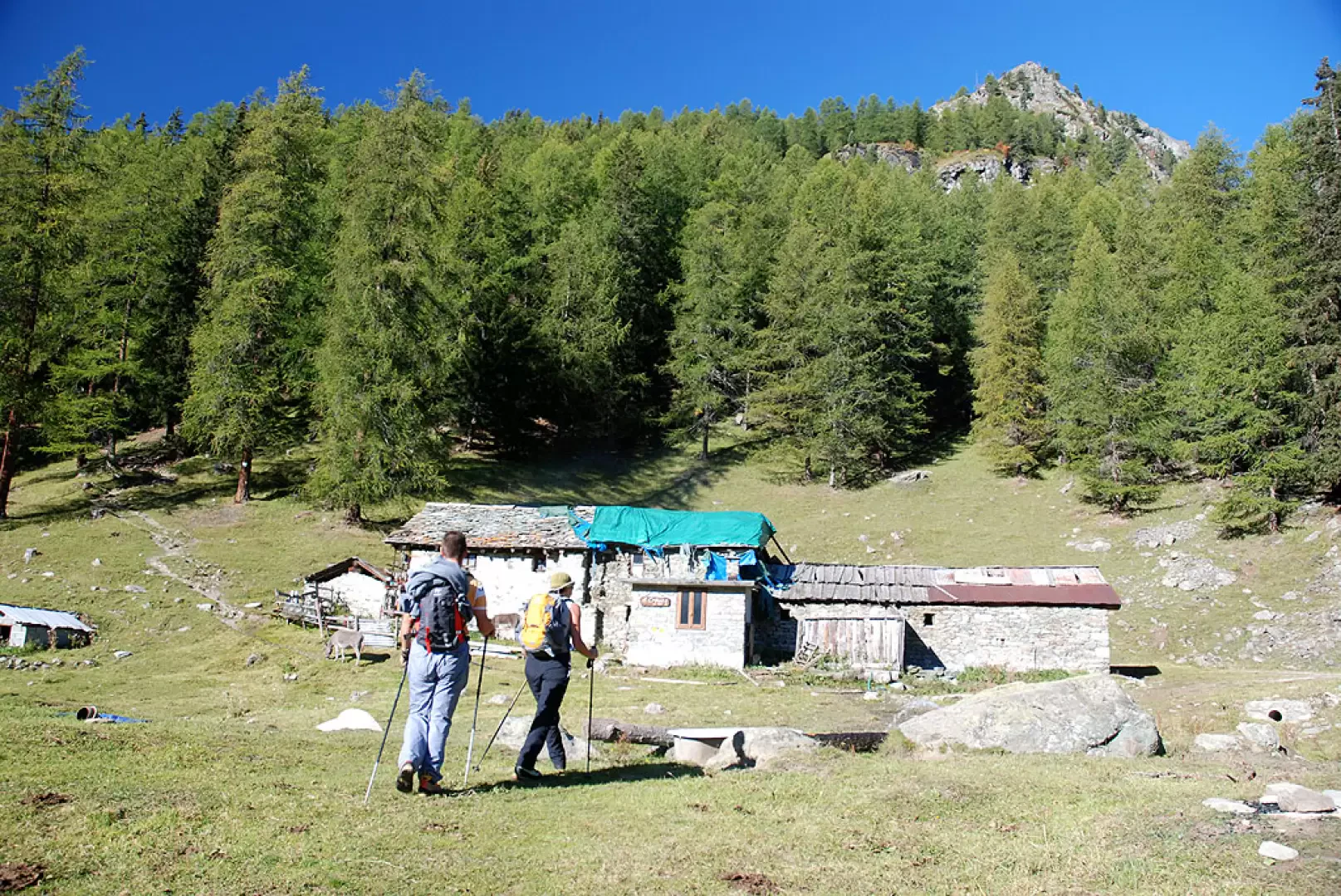
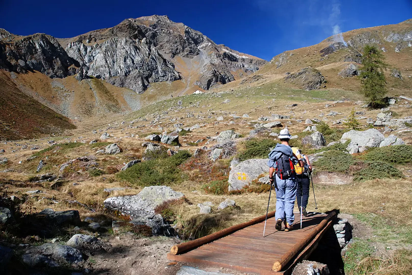
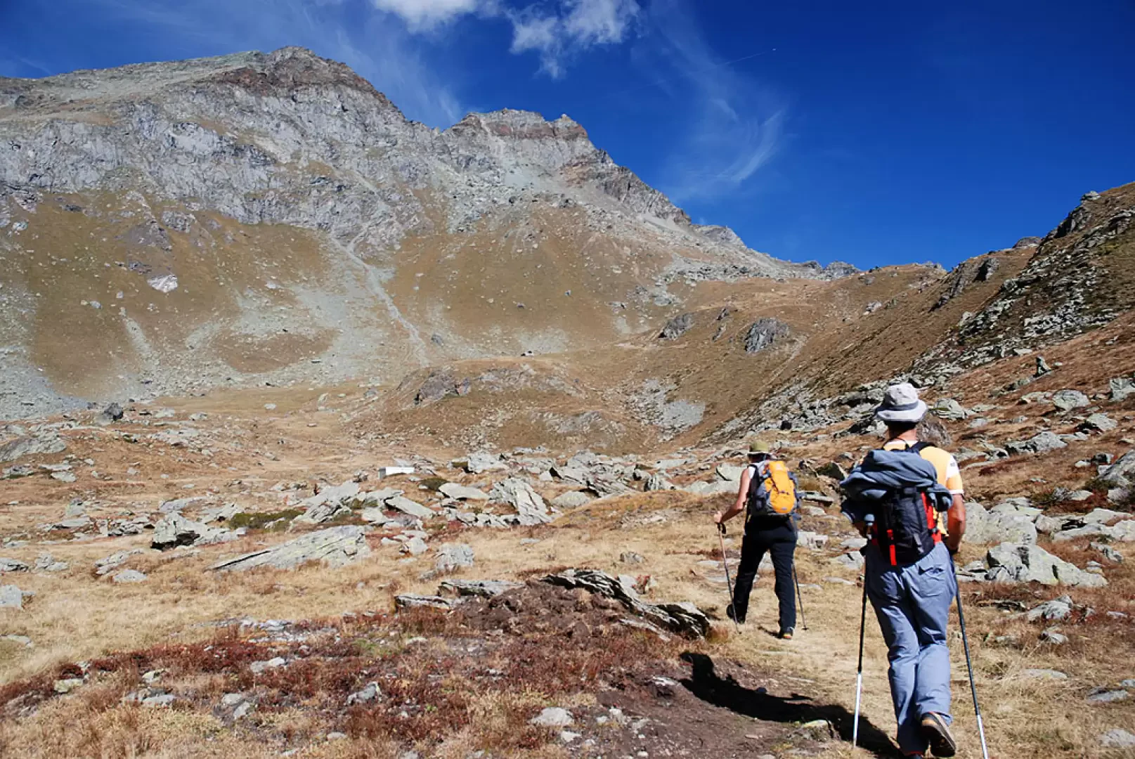
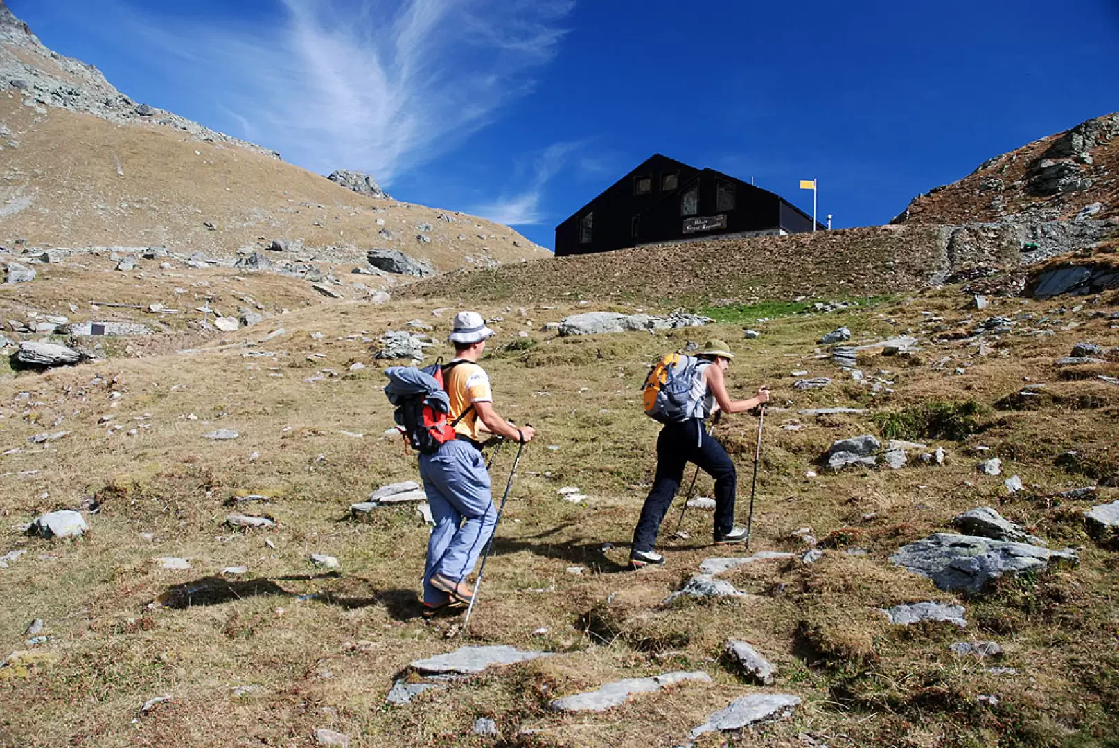
From the car park at Saint-Jacques, set off along the road that passes close to the church; after a few dozen metres, you’ll come to a bridge over the Evançon stream on your left, with signposts indicating the way to the Grand Tournalin Mountain Hut. Cross the bridge and take the mule track, which soon leads to the small hamlet of Pelioz (1722m, 0h05'), where the Alta Via Bed & Breakfast is located. Leaving the houses of Pelioz behind, the path turns left and follows a fairly flat stretch. You enter the woodland until you reach the mountain pastures below the charming chalets of Droles (1,760 m, 0h15’); you go round these and re-enter the fir forest. You reach the pasture again and first come across a small wayside shrine, followed by Alpe Croués (1,870 m, 0h25’). Back in the woods, you quickly gain altitude, heading towards the Torrent de Nannaz, climbing up its left bank until you join a small farm track: follow this for a few dozen metres before rejoining the path. You climb a short stretch through the woods before emerging onto the pastures below Nannaz desot (2,049 m, 0h50′). Climb up to the track, just above the mountain pasture, and head left until you reach a farmhouse: here, following the signs on the ground, take the wide path leading to a lovely plateau. Walk alongside the stream, keeping to the right-hand side (as you face the stream), and cross the gentle plateau facing the Bec de Nannaz. At the end of the plateau, you’ll come to a small wooden bridge; cross the stream and begin climbing the grassy ridge until you reach theTournalin desot mountain pasture (2,278 m, 1h 40’); shortly afterwards, you’ll reach the farm track. After a short stretch along the track, rejoin the path, ascending through the pastures leading up to the refuge. Gradually, you enter the final section of the wide cirque at the foot of the Tournalins, Petit and Grand. Your destination is now close at hand; turn gently to the right to finally reach the Grand Tournalin Mountain Hut (2,535 m, 2h 20'). The descent follows the same route as the ascent (1h 40’).



Comments (0)
Sign in to leave a comment